Zoning and future land use
Read the land-use context around a parcel.
Zoning and future land use#
Read the land-use context around a parcel.
Access: Pro. Overlay access requires Pro. Licensed county add-ons are separate. Local zoning codes and the responsible jurisdiction remain the source for current development rules.
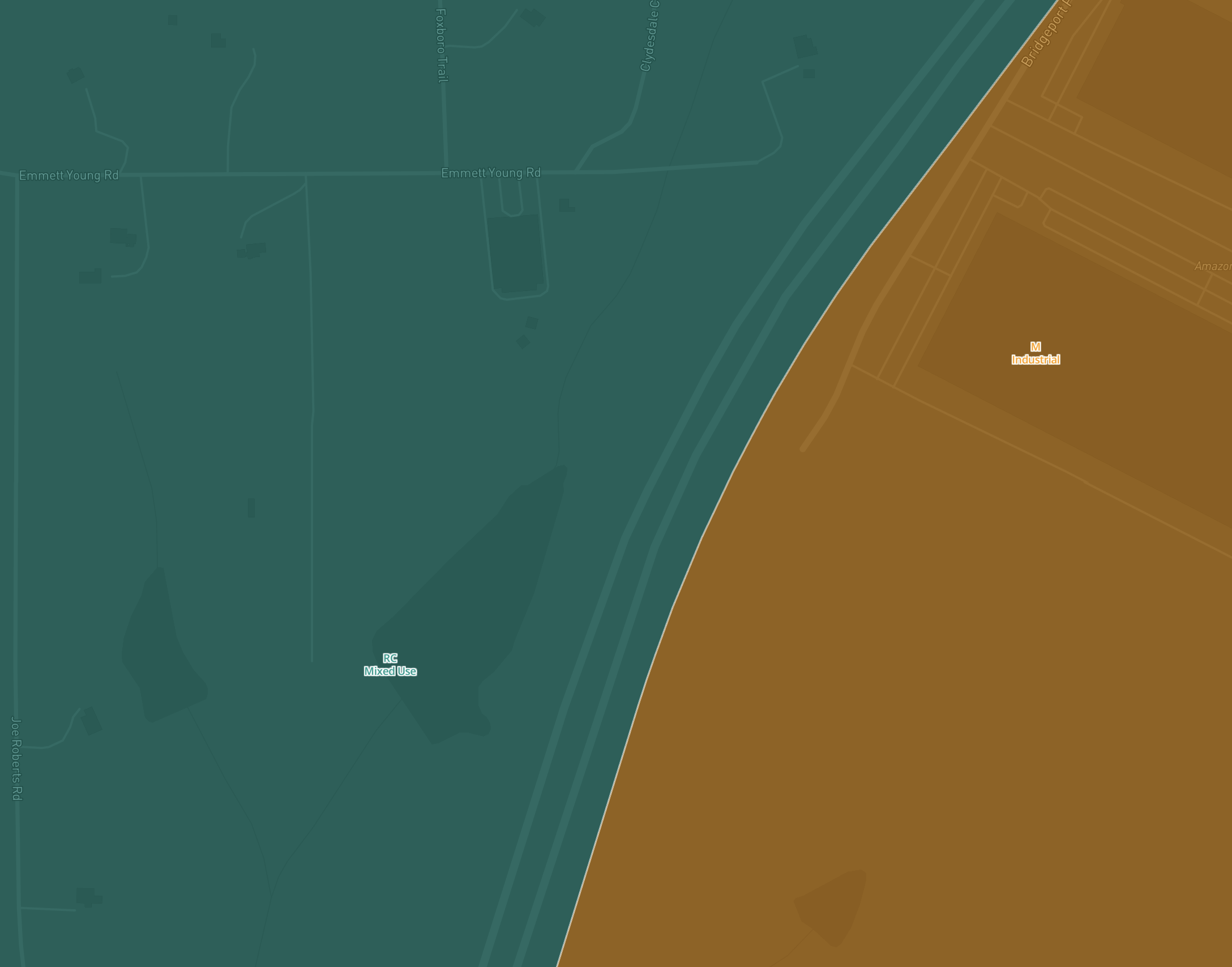
Actual Pillar map capture from September 9, 2026. The crop shows Mixed Use and Industrial zoning districts on the Dark basemap; account and CRM content are excluded.
What you get#
Zoning describes current regulations. Future Land Use shows the intended direction in a planning document. Read them together, but do not treat a future designation as current development permission.
Try it in Pillar#
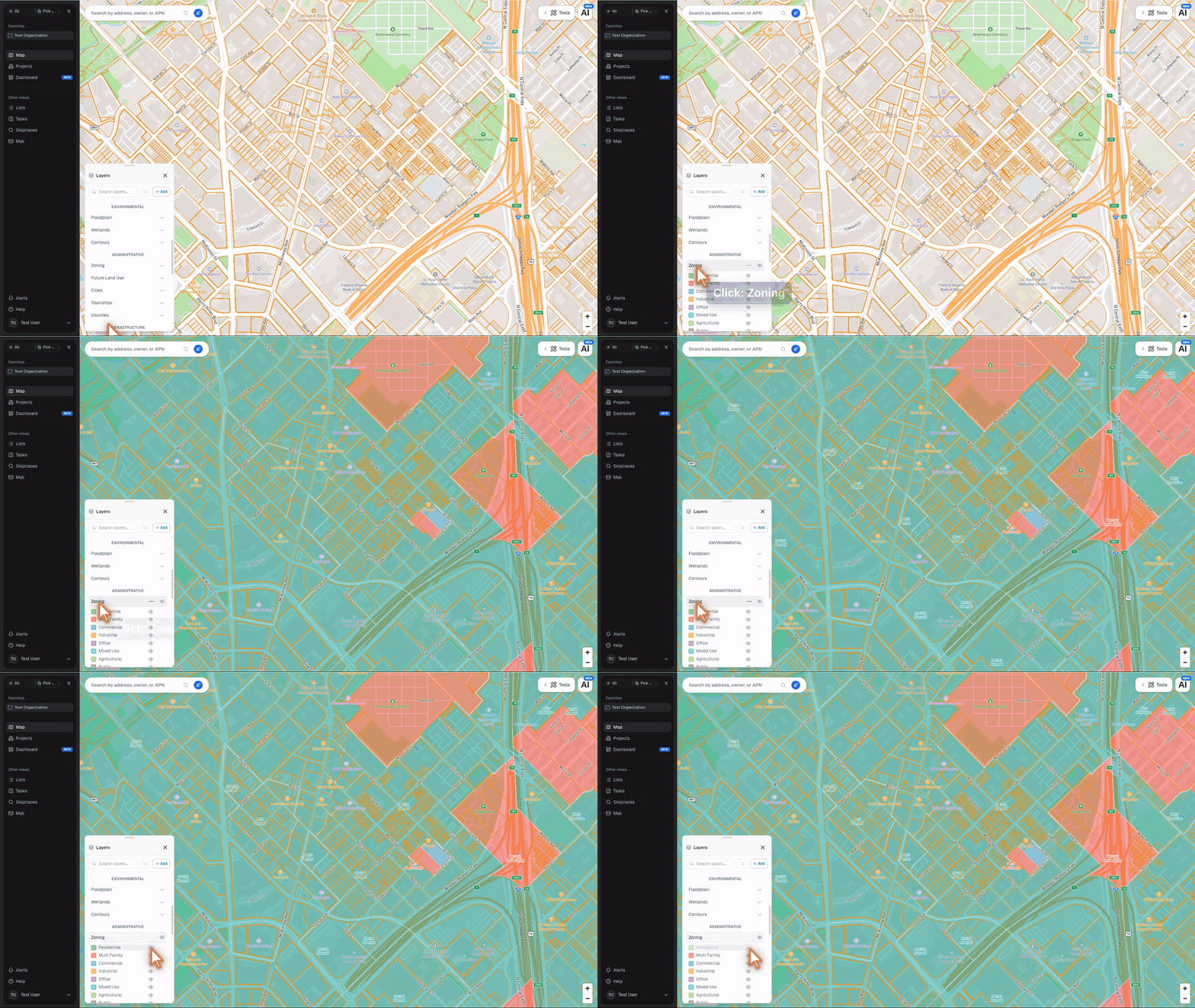
- Open Layers and find Administrative.
- Enable Zoning or Future Land Use.
- Zoom to a covered location and select a polygon to inspect its designation.
Future Land Use#
A planned designation is different from current zoning permission. Open the local plan and verify its status with the jurisdiction.
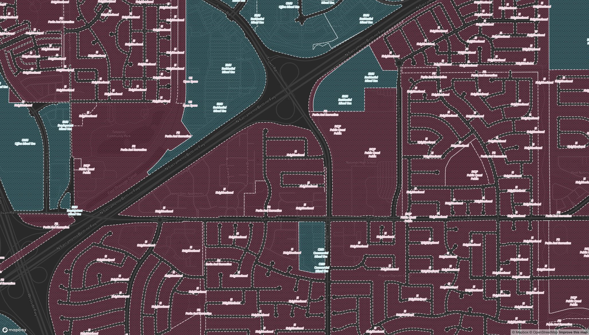
Captured September 10, 2026 using Pillar’s map layer and live Zoneomics tiles. The map shows planned neighborhoods, mixed-use areas, parks and public uses around Truxel Road and San Juan Road. This is a map-only capture; no account or CRM information is included.
See the map workflow#
This existing tutorial shows the map interaction. Its appearance may differ from the current app.
Plans and limits#
See Plans and limits for current Free, trial, Pro and Pro Annual allowances. The app checks your current access before a paid action.