
Feature Examples
Recent satellite imagery
Compare available captures of the same site.
Recent satellite imagery#
Compare available captures of the same site.
Access: Pro. Actual imagery availability, resolution, cloud cover and capture date vary.
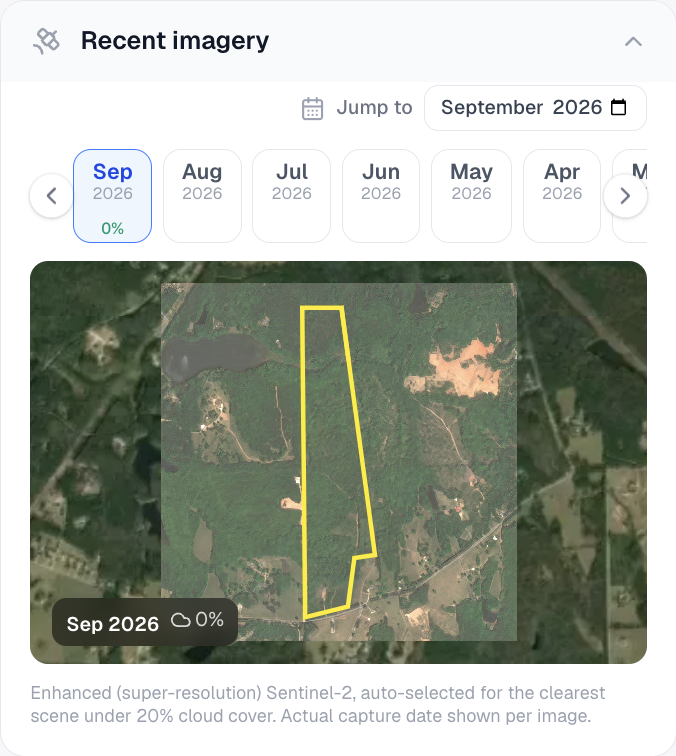
Actual Pillar screenshot captured September 9, 2026, using public parcel records in Newnan, Georgia. This is an example location, not your selected property.
What you get#
Choose available imagery for a location and compare capture dates to investigate visible changes. The recent-imagery tool is different from the ordinary satellite basemap, which remains available on Free.
Try it in Pillar#
- Choose Satellite from the map toolbar or Recent imagery in a parcel.
- Select an available date or capture.
- Compare the same boundary and review the imagery date and quality.
Plans and limits#
See Plans and limits for current Free, trial, Pro and Pro Annual allowances. The app checks your current access before a paid action.