
Infrastructure and research layers
Explore infrastructure, Median Income and Opportunity Zones 2.0 on your map.
Infrastructure layers, School Attendance Zones, Median Income and Opportunity Zones 2.0 are included in the 7-day trial, Pro monthly and Pro Annual. Free accounts can browse the layer names, but opening a locked layer shows the Pro offer.
Infrastructure#
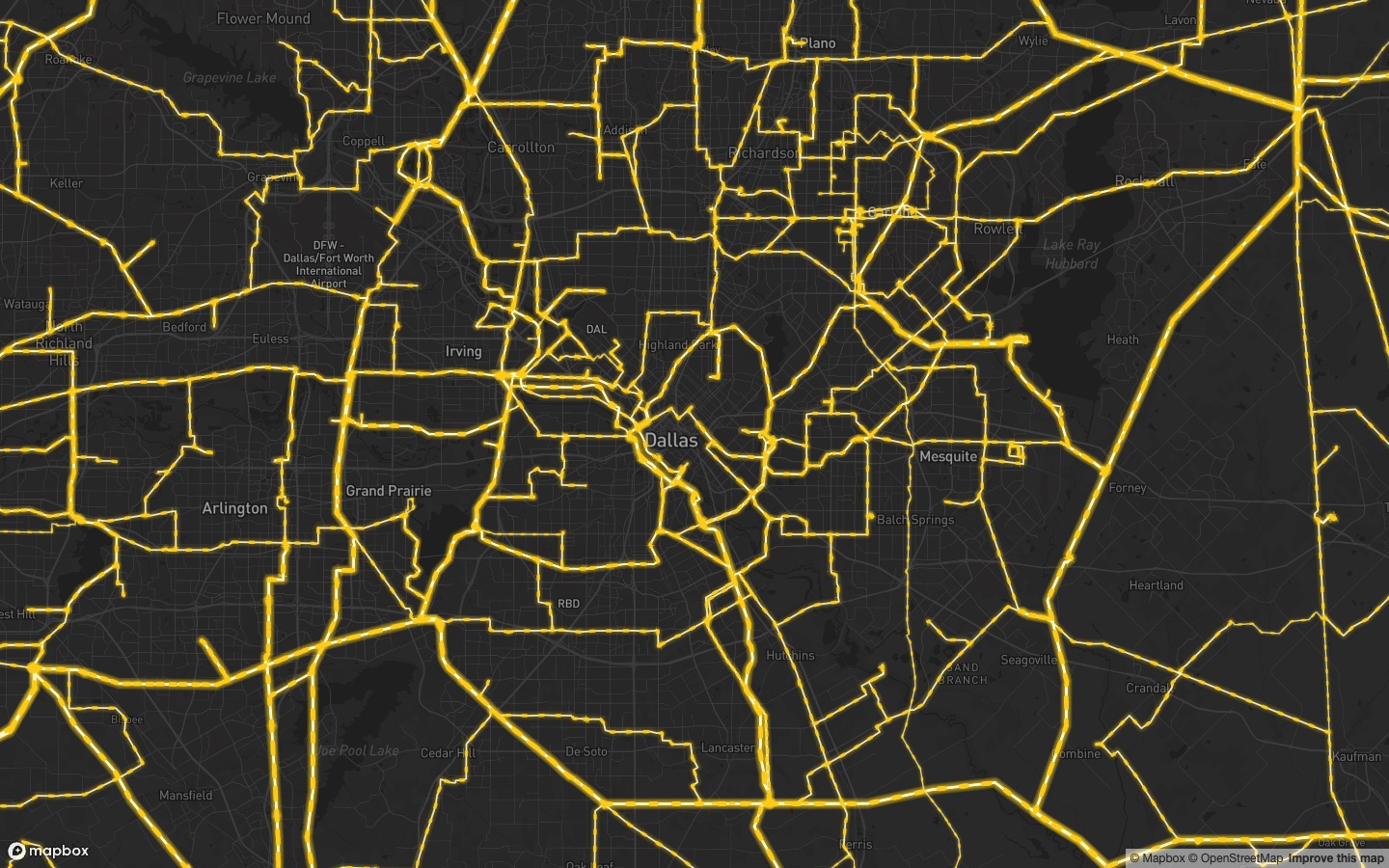
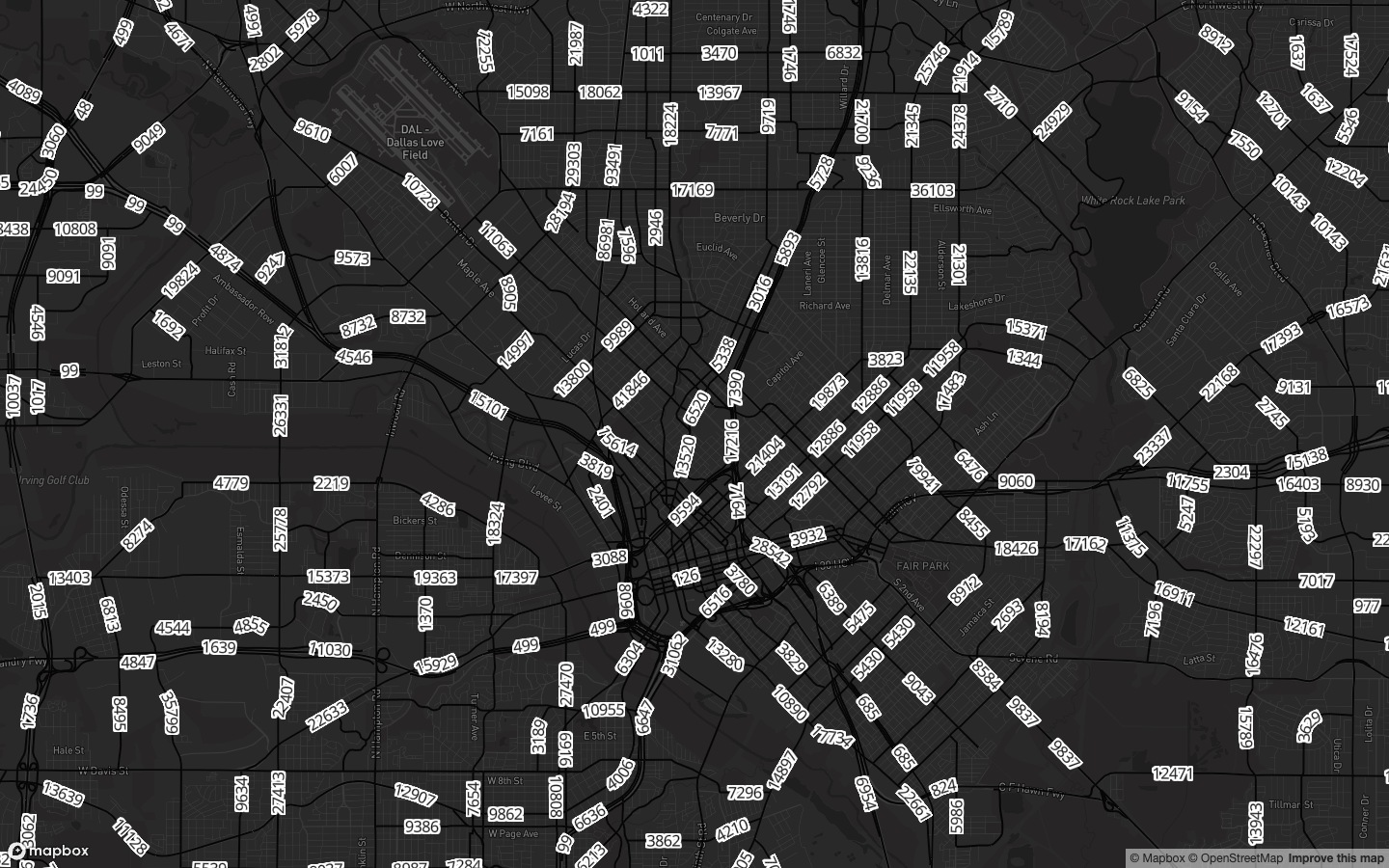
Use the Layers panel or layer library to find Sewer Lines, Transmission Lines, Substations, Pipelines and Traffic Counts. Regional infrastructure datasets follow the same access, including Texas pipelines. Coverage varies by dataset and location.
Median Income#
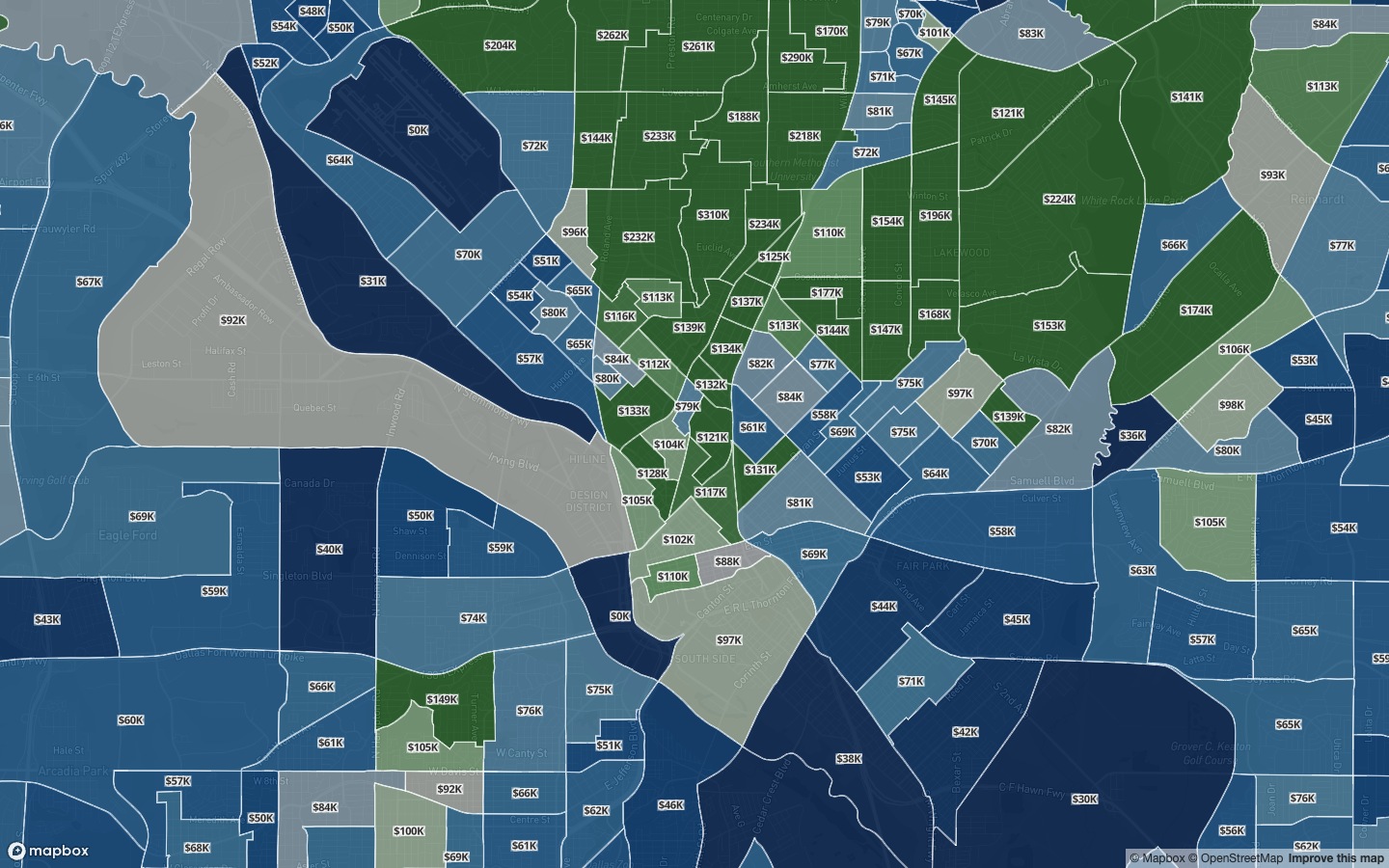
The Median Income layer shows census-tract median household income. This map layer is included with Pro monthly; it does not require the Annual demographics report plan.
Advanced Demographics#
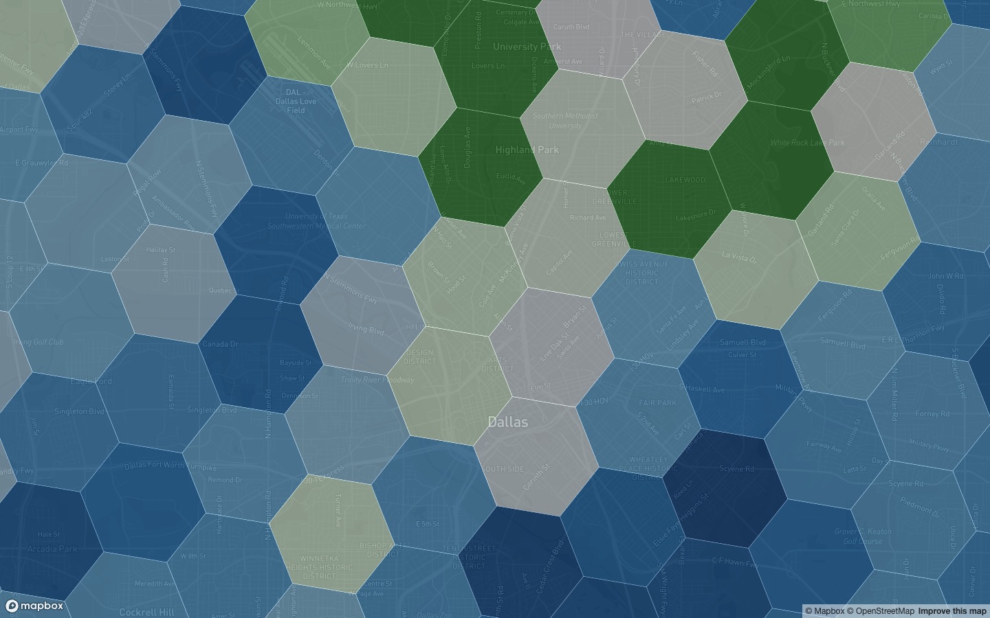
Advanced Demographics shows population, households, income, housing values, rents and growth projections. Find it under Demographics in the Pillar Library. It requires Pro Annual; access is also included during an eligible seven-day trial. Free and Pro monthly accounts can browse the layer and open the Annual offer.
Opportunity Zones 2.0#
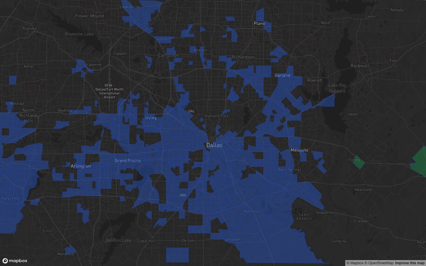
Opportunity Zones 2.0 is included with Pro. Opportunity Zones 1.0, Qualified Census Tracts and Difficult to Develop Areas remain available on Free.
Other map layers#
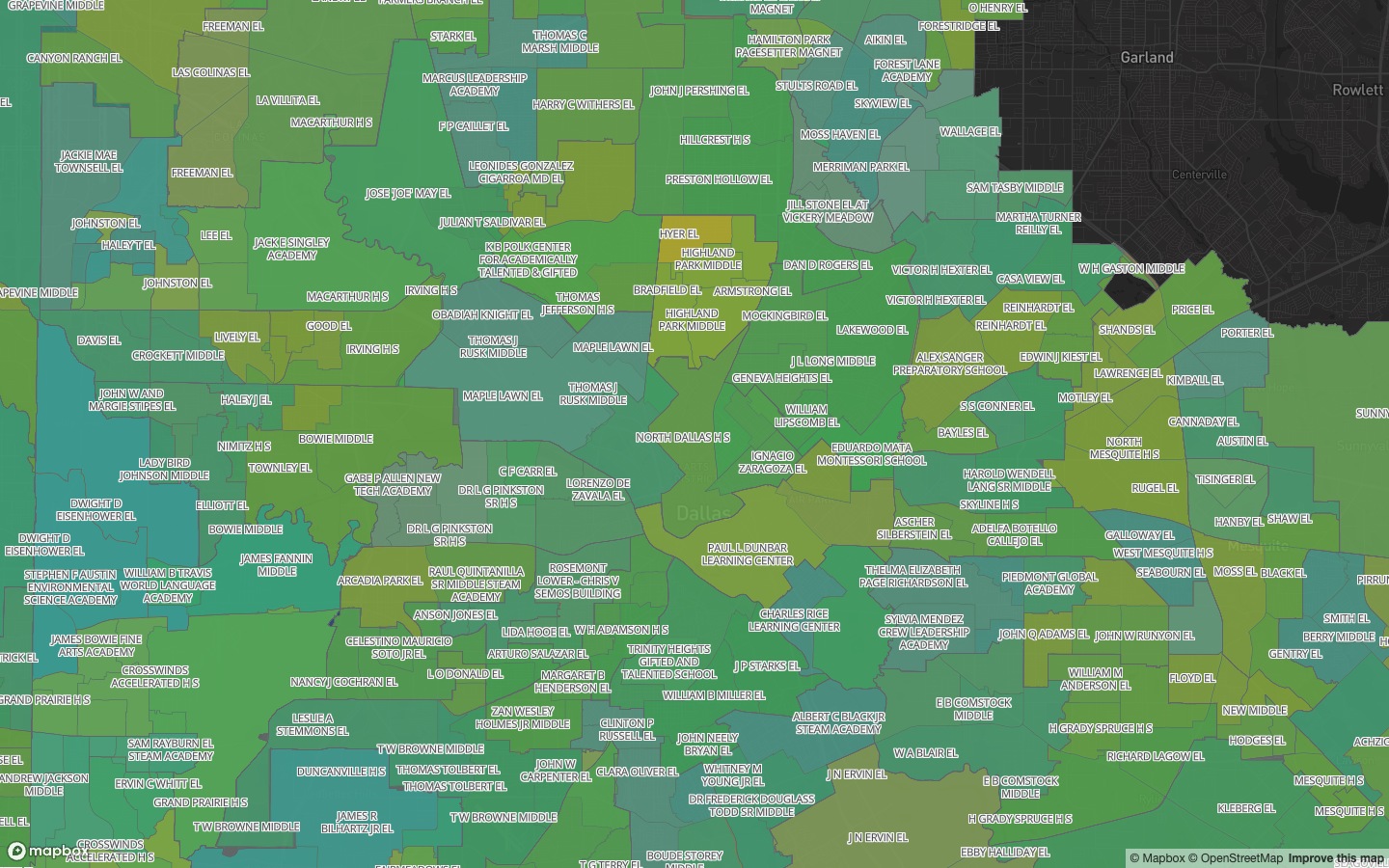
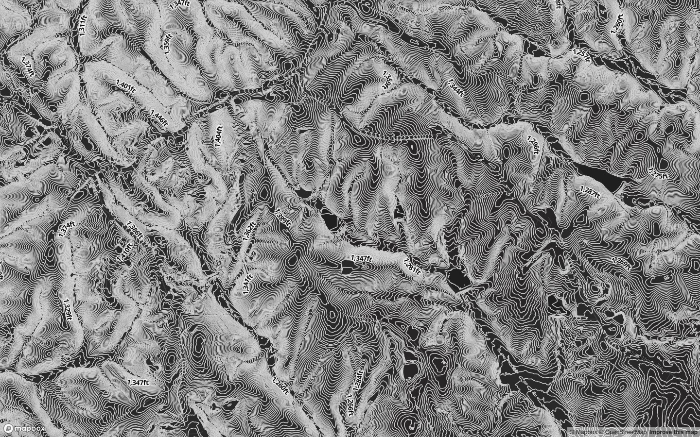
School Attendance Zones requires Pro monthly, Pro Annual or an active trial. School Locations and School Districts remain Free, as do environmental flood and wetland layers and administrative boundaries. The 3 ft and 6 ft contour intervals separately require Pro; 9 ft, 15 ft and 33 ft remain Free.
Map previews#
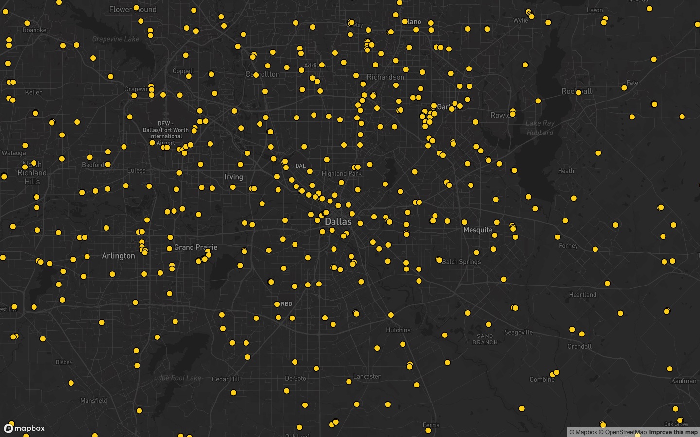
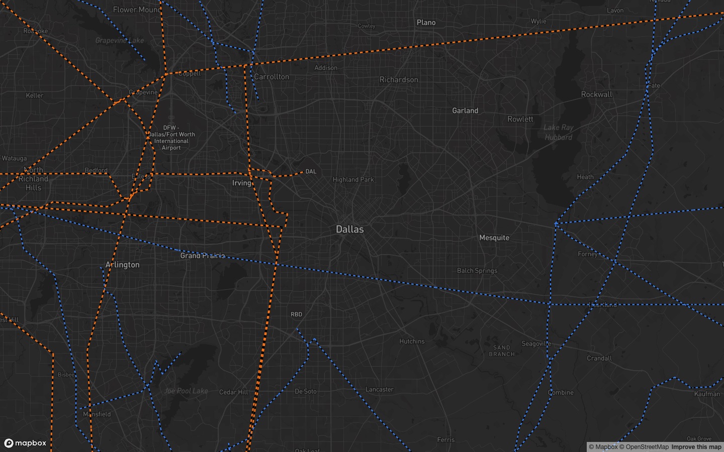
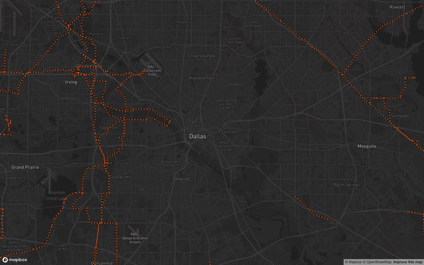
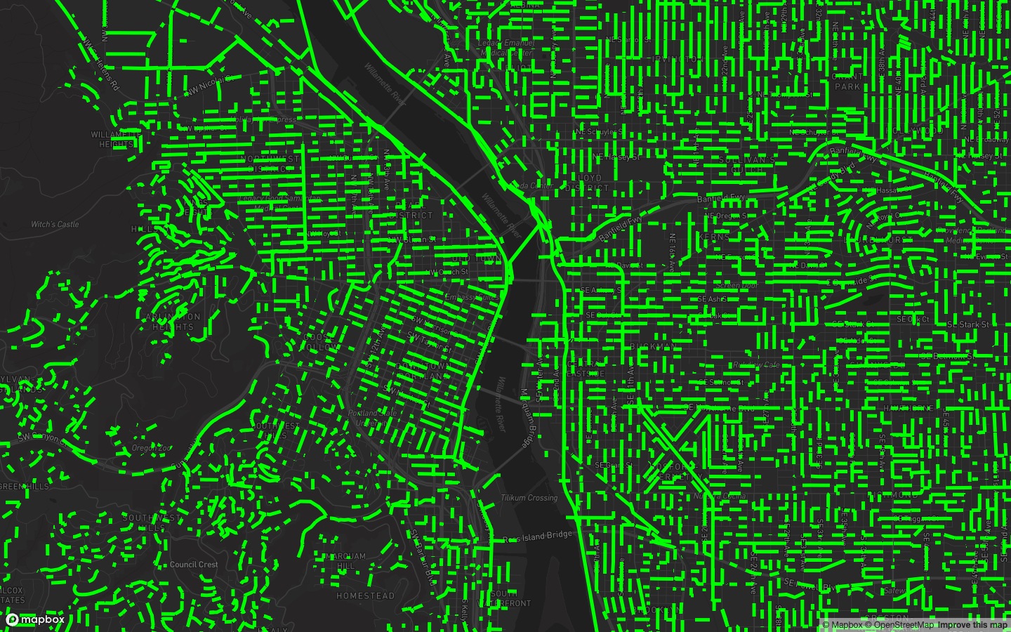
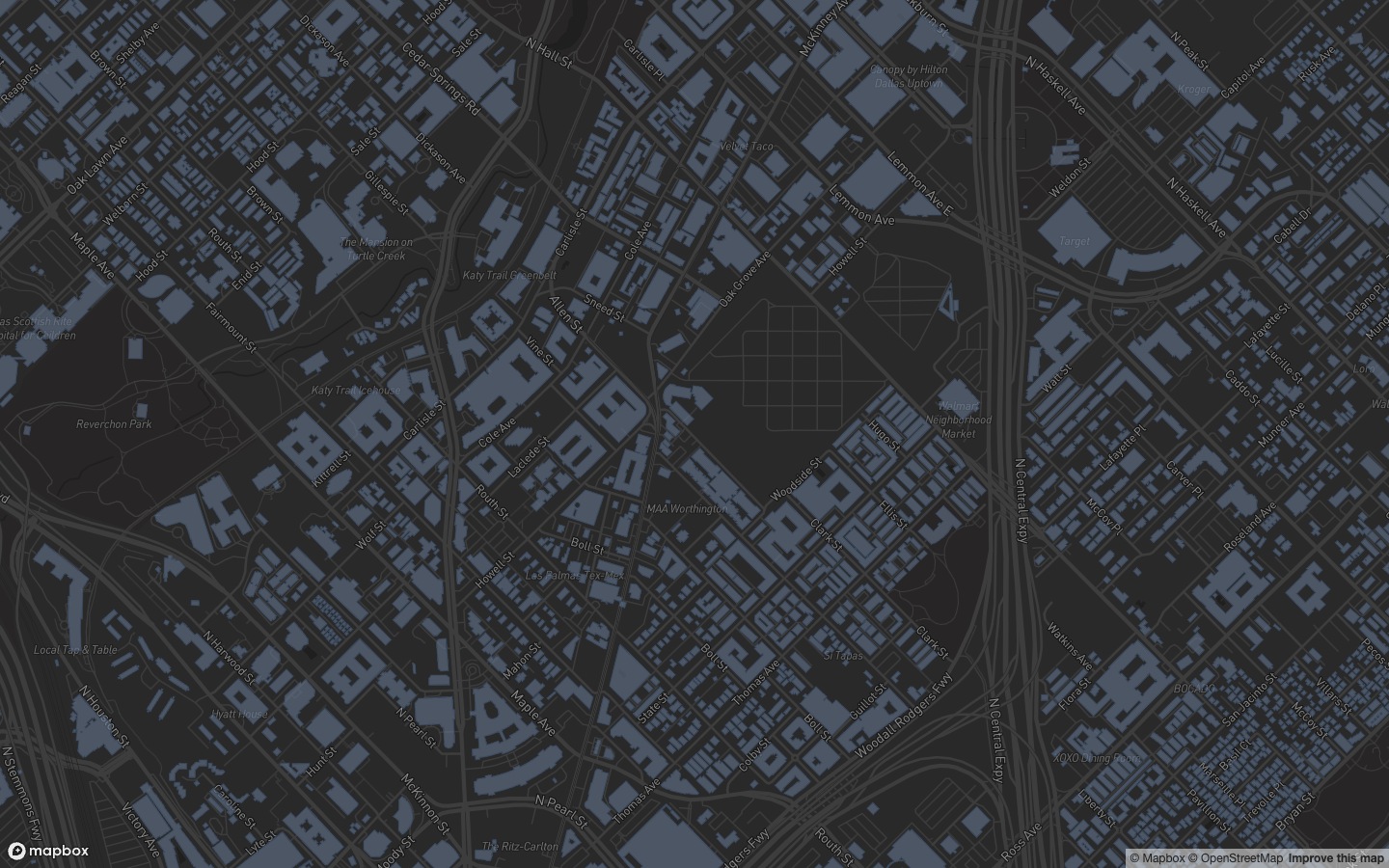
These examples show live source data rendered with Pillar’s layer styles on a dark basemap. Most show Dallas; sewer lines show Portland and contours show Georgia. Coverage varies by location. Select any image to enlarge it.
Transmission Lines#
Substations#
Pipelines#
Texas Pipelines#
Sewer Lines#
Traffic Counts#
Building Footprints#
School Attendance Zones#
3 ft Contours#
6 ft Contours#